Meliorations-Tour (Gruene Strecke)


- 3:16 h
- 52.30 km
- 8 m
- 10 m
- 5 m
- 21 m
- 16 m
- Start: By the canal
- Destination: By the canal
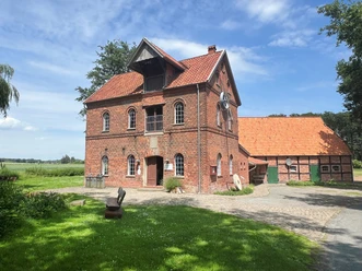
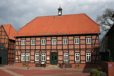
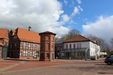
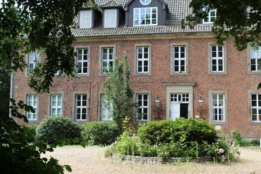
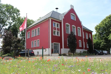
If you visit the area of the former Eyterbruch between Thedinghausen, Emtinghausen, Schwarme, Bruchhausen-Vilsen and Hoya today, you would never guess that the largest project for the irrigation and drainage of agricultural land in Central Europe was carried out here almost 130 years ago.
The word melioration comes from Latin and means something like soil improvement to increase the agricultural yield capacity of the soil.
The irrigation and drainage of soils is probably the most important task of melioration. The melioration project has changed and shaped the landscape around Thedinghausen, Bruchhausen-Vilsen and Hoya. Parts of the water system and individual dams can still be seen today as reminders of these cultural and technical achievements.
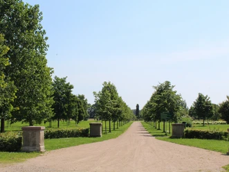
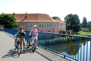
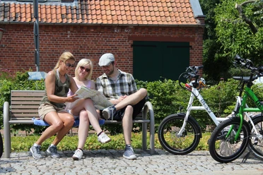
You have the opportunity to explore the former Eyterbruch on two mainly asphalted cycle routes or on the canoe route of the main melioration canal and the Eyter. The green cycle route Thedinghausen - Bruchhausen-Vilsen runs for approx. 54 km on a circular route. The green route can be combined with the red route, both routes together are approx. 92 km long.
The melioration tour can also be found at Komoot.
Safety information:
The word melioration comes from Latin and means something like soil improvement to increase the agricultural yield capacity of the soil.
The irrigation and drainage of soils is probably the most important task of melioration. The melioration project has changed and shaped the landscape around Thedinghausen, Bruchhausen-Vilsen and Hoya. Parts of the water system and individual dams can still be seen today as reminders of these cultural and technical achievements.
You have the opportunity to explore the former Eyterbruch on two mainly asphalted cycle routes or on the canoe route of the main melioration canal and the Eyter. The green cycle route Thedinghausen - Bruchhausen-Vilsen runs for approx. 54 km on a circular route. The green route can be combined with the red route, both routes together are approx. 92 km long.
The melioration tour can also be found at Komoot.
Safety information:
- Throughout the entire tour, please note that the cycle paths are used at your own risk
- No guarantee is given for the usability of the cycle paths
- In cities, increased attention is generally required
- Please use existing cycle paths
- On the tour, you must expect to encounter danger spots, such as bollards, barriers to traffic
- .bollards, barriers and unsecured crossings of main roads - this advice applies in particular to cycling families with small children.

Waypoints
Start

Good to know
Best to visit
suitable
Depends on weather
Author
Mittelweser-Touristik GmbH
Lange Straße 18
31582 Nienburg/Weser
Organization
Mittelweser-Touristik GmbH
License (master data)
Mittelweser-Touristik GmbH
Our recommendations

Nearby


Download GPX file