- 2:24 h
- 10.00 km
- 11 m
- 12 m
- 16 m
- 36 m
- 20 m
- Destination: Zeppelinstraße (parking lot)
Way description:
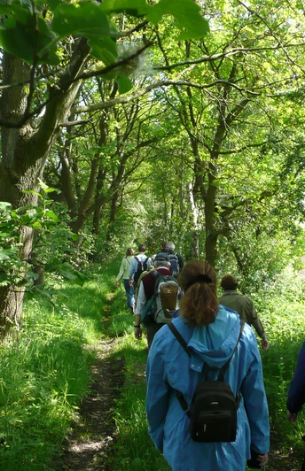
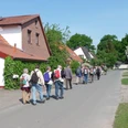
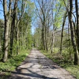
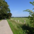
The hiking trail starts at the parking lot on "Zeppelinstraße" in the Achim-Ost industrial estate. It first leads towards the main road, which you cross to reach the beautiful Wittkoppenberg hiking area (1). At the first junction, the unpaved path runs past the fields on the left. After the fields, turn right onto the path. Continue straight ahead into the water conservation area (2) with its changing forest and field vegetation. You will now come to a junction from which several paths branch off. Take the second path on the left, which leads into the forest. At "Ueserdickenstraße", turn right and continue straight ahead. The path continues on the left. Follow the road. At a farm, the path bends to the right. You are now on the "Ueser Moorweg". At the next crossroads, turn right towards Steller Berg (1). Now turn right and cross the grounds of the Achim golf course (3). Turn right again at the next junction and walk straight on until you come to another fork in the path. Keep right again here and walk into the forest. At the end of this path, turn left and continue straight ahead. You will now reach the main road again, cross it and return to the starting point of our hike.
Sightseeing/interesting facts:
(1) Wittkoppenberg/Steller Berg:
Small wooded areas adorn the scenic and charming area around the Steller Berg and Wittkoppenberg. The Steller Berg borders the moorland of Baden and Uesen. Although the moor is heavily drained in places, there are still plants worth protecting here. During the construction of the golf course, the Scheefmoorgraben was converted back into a watercourse. In addition, new wetland biotopes were created, which can serve as refuges for various amphibians.
The Wittkoppenberg (approx. 31 m above sea level) is a mixed forest area in which beech and oak trees predominate. In addition, thanks to the "Rotenburger Rinne", an ice-age watercourse at great depth, the entire area is a water protection area in which high-quality drinking water is obtained.
(2) Water protection area:
The entire area between the highway and the Wittkoppenberg is under water protection. There are deep wells in the fields and forests from which the groundwater is pumped to the Wittkoppenberg waterworks. The waterworks was put into operation in 1966.
(3) Achim golf course:
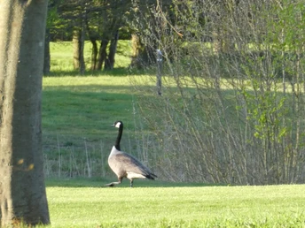
The golf course, which was completed in 1998, is a course that nestles harmoniously into the landscape, with ditches, ponds, bunkers, individual groups of trees and woodland forming a harmonious ensemble. New habitats for native flora and fauna have been created on land that was previously used for agriculture. A meadow orchard with old tree varieties provides a rich supply of pollen for several honey bee colonies as well as wild bee species and other insects. Golfers and visitors can pick apples here for refreshment. Public paths criss-cross the golf course grounds, inviting cyclists and hikers.
The tour can also be found Komoot.
Safety information:
- Throughout the entire tour, please note that the paths are used at your own risk
- No guarantee is given for the usability of the paths
- In the cities/towns, increased attention is generally required
- On the tour, you must expect to encounter danger points, such as bollards, barriers and unsecured crossings
Good to know
Best to visit
suitable
Depends on weather
Author
Mittelweser-Touristik GmbH
Lange Straße 18
31582 Nienburg/Weser
Organization
Mittelweser-Touristik GmbH
License (master data)
Mittelweser-Touristik GmbH
Nearby
