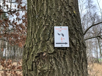
Wanderweg "Kräher Höhe"


- 0:16 h
- 900 m
- 18 m
- 10 m
- 44 m
- 57 m
- 13 m
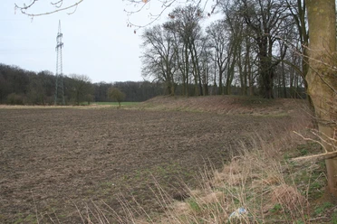
From 2009 to 2011, the former Nienburg/Krähe central landfill site was recultivated using state-of-the-art technology. The only reminder of its past as a landfill is the "mountain" under which around 1.2 million cubic meters of municipal waste lie shielded from the environment. At 64 m above sea level, you reach the highest point in the town of Nienburg/Weser at the summit cross of the mountain, which today serves as a recreational area. A cozy mountain hut near the summit invites you to linger. Your thirst for knowledge about waste disposal in the district of Nienburg/Weser is quenched along the hiking trail. If you feel like it, you can play disc golf. Bring your disc!
The tour can also be found at Komoot.
Safety information:
The tour can also be found at Komoot.
Safety information:
- Throughout the entire tour, please note that the paths are used at your own risk
- No guarantee is given for the usability of the paths
- In the cities/towns, increased attention is generally required
- On the tour, you must expect dangerous spots, such as bollards, barriers and unsecured crossings
Waypoints

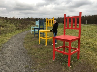
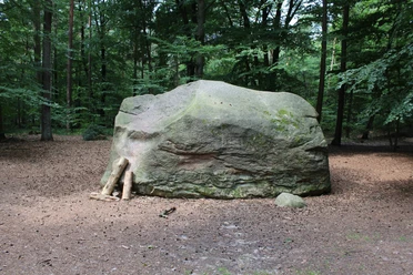
Good to know
Best to visit
suitable
Depends on weather
Author
Mittelweser-Touristik GmbH
Lange Straße 18
31582 Nienburg/Weser
Organization
Mittelweser-Touristik GmbH
License (master data)
Mittelweser-Touristik GmbH

Nearby