Leeser Runde


- 3:40 h
- 15.20 km
- 20 m
- 21 m
- 24 m
- 47 m
- 23 m
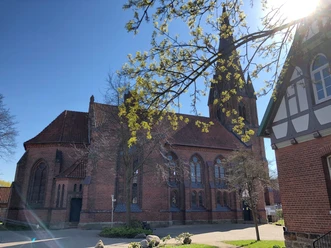
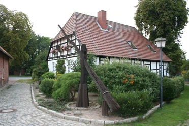
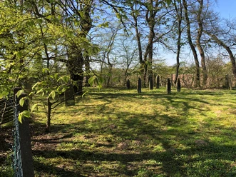
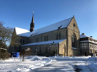
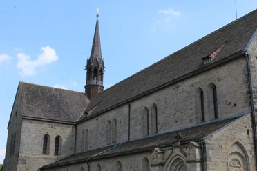
During your hike, you will experience the lake landscape west of Leese. Gravel is still mined here, but some of the areas have already been renaturalized. A highlight is the viewing platform with a view of the lakes and the many water birds. The village of Leese with its church and historic draw well is also worth a visit. The tour continues through a forest and meadow landscape east of Leese back to the starting point.
It is possible to travel by train (Nienburg-Minden line). Train station: Leese-Stolzenau
The tour can also be found at Komoot.
Safety information:
It is possible to travel by train (Nienburg-Minden line). Train station: Leese-Stolzenau
The tour can also be found at Komoot.
Safety information:
- Throughout the entire tour, please note that the paths are used at your own risk
- No guarantee is given for the usability of the paths
- In the cities/towns, increased attention is generally required
- On the tour, you must expect to encounter danger spots, such as bollards, barriers and unsecured crossings
Waypoints
Good to know
Best to visit
suitable
Depends on weather
Author
Mittelweser-Touristik GmbH
Lange Straße 18
31582 Nienburg/Weser
Organization
Mittelweser-Touristik GmbH
License (master data)
Mittelweser-Touristik GmbH

Nearby