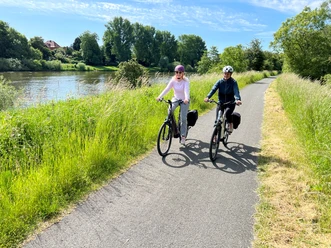
Durch die Wesermarsch


- 1:43 h
- 26.10 km
- 76 m
- 75 m
- 20 m
- 52 m
- 32 m
- Start: Station road
- Destination: Bomstrasse
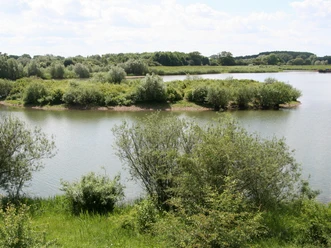
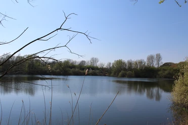
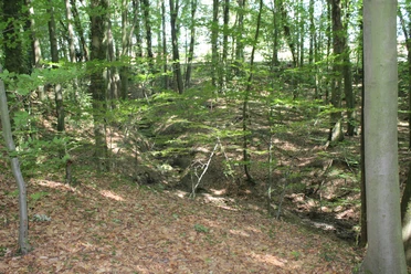
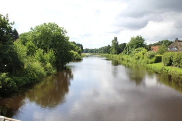
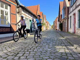
The fauna and flora of the Wesermarsch and the wide view from the edge of the Geest over the landscape make this signposted cycle tour a beautiful memory. The landscape is dominated by the Weser, which made its way north here 180,000 years ago. Floods created nutrient-rich clay soils that were used for farming. Early settlements developed on flood-free low terraces or on the edge of the Geest. Today, this landscape is also characterized by gravel lakes.
You can also find the tour at Komoot.
Safety information:
You can also find the tour at Komoot.
Safety information:
- Throughout the entire tour, please note that the cycle paths are used at your own risk
- No guarantee is given for the usability of the cycle paths
- In cities, increased attention is generally required
- Please use existing cycle paths
- On the tour, you must expect to encounter danger spots, such as bollards, barriers to traffic
- .e.g. bollards, barriers and unsecured crossings of main roads - this advice applies in particular to cycling families with small children.

Waypoints
Start

Good to know
Best to visit
suitable
Depends on weather
Author
Mittelweser-Touristik GmbH
Lange Straße 18
31582 Nienburg/Weser
Organization
Mittelweser-Touristik GmbH
License (master data)
Mittelweser-Touristik GmbH

Our recommendations
Nearby


Download GPX file