Gaußstein Osterberg


The listed stone stands on the Osterberg around 52 meters above sea level in the Nienburg district of Langendamm. It was erected there in 1863 at the point that was used as a trigonometric triangulation point for surveying the Kingdom of Hanover.
The Osterberg was used for surveying by the geodesists Georg Wilhelm Müller and Joseph Gauss, son of Carl Friedrich Gauss. Officers of the Royal Hanoverian Army erected a sandstone pillar at the measuring point in 1863. It bears the inscription "Königl Hannov Landes Vermessg".
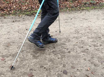
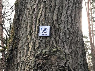
The Osterberg is a beautiful heath landscape that can be used for walks and Nordic walking.
Good to know
Author
Mittelweser-Touristik GmbH
Lange Straße 18
31582 Nienburg/Weser
Organization
Mittelweser-Touristik GmbH
License (master data)
Mittelweser-Touristik GmbH

Nearby


