Steyerberg-Blaue Strecke


- 1:46 h
- 6.90 km
- 41 m
- 41 m
- 26 m
- 51 m
- 25 m
The routes in Steyerberg:
B 6 exit Liebenau, Steyerberg, Stolzenau, Hoya. Continue on the L 350 in the direction of Liebenau/Steyerberg. Via Reese and Rießen on Kirchstraße you reach the entrance to Steyerberg. Then take the first road on the right "Am Schierholz", then immediately turn right again into Sportallee. After approx. 250 m you will reach the Dunkbrücke bridge at the Schierholz nature reserve. Parking is available at the outdoor pool.
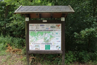
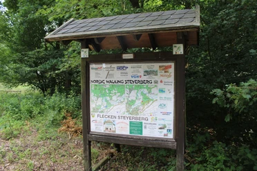
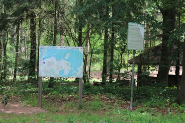
The route signs are easy to recognize, as the signs have been attached to specially erected metal posts.
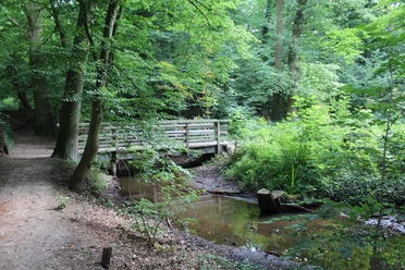
The blue route (7 km) leads along part of the Große Aue, across meadows and fields and through a small forest. This route also runs on soft ground through a scenic area and does not present any major difficulties.
Safety information:
B 6 exit Liebenau, Steyerberg, Stolzenau, Hoya. Continue on the L 350 in the direction of Liebenau/Steyerberg. Via Reese and Rießen on Kirchstraße you reach the entrance to Steyerberg. Then take the first road on the right "Am Schierholz", then immediately turn right again into Sportallee. After approx. 250 m you will reach the Dunkbrücke bridge at the Schierholz nature reserve. Parking is available at the outdoor pool.
The route signs are easy to recognize, as the signs have been attached to specially erected metal posts.
The blue route (7 km) leads along part of the Große Aue, across meadows and fields and through a small forest. This route also runs on soft ground through a scenic area and does not present any major difficulties.
Safety information:
- Throughout the entire tour, please note that the paths are used at your own risk
- No guarantee is given for the usability of the paths
- In the towns/villages, increased attention is generally required
- On the tour, you must expect to encounter danger spots, such as bollards, barriers and unsecured crossings

Good to know
Best to visit
suitable
Depends on weather
Author
Mittelweser-Touristik GmbH
Lange Straße 18
31582 Nienburg/Weser
Organization
Mittelweser-Touristik GmbH
License (master data)
Mittelweser-Touristik GmbH

Nearby